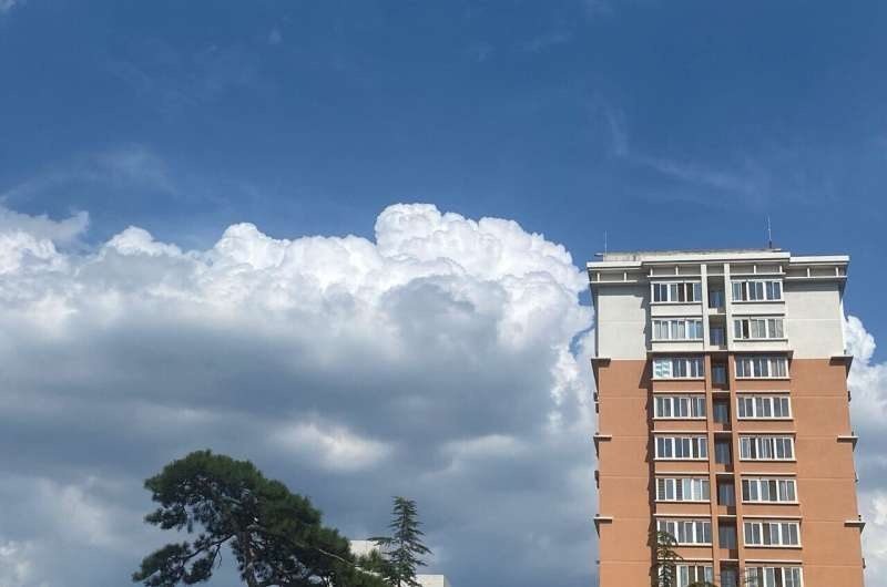
As the impacts of climate change become more pronounced, the need for accurate and timely weather forecasting has never been greater. In this blog post, we explore how a groundbreaking data fusion technique is poised to revolutionize the early detection of convective clouds, potentially saving lives and property.

Using the Potential of Satellite Data
One significant result of global warming is the increasing frequency and intensity of convective weather events, such as thunderstorms and heavy rainfall. Geostationary satellites are known as (or, at least referenced to) “first-generation” satellites, and they have been used for a long time to keep track of these events and the data on atmospheric conditions therein.
Still, the spatial resolution of these satellites was typically too coarse for reliable monitoring of convective cloud initiation (CI), where deep convection begins to develop. In the past, this has led to a high false alarm rate as well as a high rate of missed events, both of which make forecasting difficult for meteorologists.
Efficiently solving this problem, the researchers of the National Satellite Meteorological Center in China propose an innovative data fusion method. By fusing high-resolution texture information from the Gaofen-4 (GF-4) Earth observation satellite and multispectral data from the Fengyun-4A (FY-4A) geostationary meteorological satellite, they have devised a valuable method that can greatly improve early detection of convective clouds.
Revealing Cloud Development Secrets
What makes this innovative approach possible is the capacity to combine each of the strengths of every satellite. If the information is allowed to supplement each other correctly, GF-4 can provide details on convective cloud early evolving law of high-resolution texture data, while FY-4A multispectral data ensures spectral information accurately. The researchers combined this dataset with a separate one to create an algorithm that can better detect when and where small convective clouds form and evolve.
This is key as these smaller clouds can rapidly grow into intense weather systems, like thunderstorms or sporadic heavy summer downpours. However, traditional observation practices are unlikely to detect these rapid events with low lead time; forecasters and decision-makers will have little time to plan and respond.
With this data fusion technique, the system can now detect clouds at a much earlier stage of development than was possible before, which is helping meteorologists issue more accurate and timely warnings. Well, this enhances both the predictive values of weather forecasting and more robust strategic disaster readiness and mitigation capabilities.
Conclusion
Such fusion of high-resolution satellite data (e.g., shown here for the first time with this established data fusion method)s, is considered as instrumental progress regarding early convective cloud detection. This technology will drastically improve our ability to predict cloud development and in turn mitigate the effects of extreme weather on our communities. Climate change is a looming reality that is already changing the world, and innovations like this are essential to our ability to bounce back and respond to whatever lies ahead.
